2 FIELDSTONE DR (PALM)
Owner Information
MANNING STEPHEN R & GAIL C
2 FIELDSTONE DR
PALMER, MA 01069


Property Details
2 FIELDSTONE DR (PALM) is classified as a Single Family Residential (Modern).
The primary structure on this property was built in 2000. There are 3,756ft2 of built area within this property. There is 1,892ft2 of residential/living space within this property. This property is listed as having 8 rooms.
2 FIELDSTONE DR (PALM) is valued at $389,600. The land is valued at $58,700 and the structures are valued at $328,600. There is an additional valuation of $2,300 on this property.
This property is in Zone SR. Confirm with local Zoning Board authorities to ensure there are no overlays or other easements on this property.
The most recent deed for 2 FIELDSTONE DR (PALM) is recorded at the local registrar in Book 12407, Page 0442. 2 FIELDSTONE DR (PALM) was last sold on Wednesday, June 26, 2002 for $236,500.
Assessment data from fiscal year 2022.
Flood Data
According to the FEMA National Flood Hazard Layer, this property does not appear to be in a flood zone. It may also be in an area not yet reviewed. Nonetheless, confirm this information prior to taking any action.
To view the flood hazards around this property, create a FEMA "Firmette" Map of the area around 2 FIELDSTONE DR (PALM).
Broadband Internet Providers
| Provider | Type | Bandwidth (mbps) | |
|---|---|---|---|
| T-Mobile | Fixed Wireless | 25 | 3 |
| HughesNet | Satellite | 25 | 3 |
| GCI Communication Corp. | Satellite | 0 | 0 |
| Viasat Inc | Satellite | 100 | 3 |
| Crown Castle Fiber | Fiber | 0 | 0 |
| Comcast | Cable | 1000 | 35 |
| Verizon New England Inc. | DSL | 15 | 1 |
| VSAT Systems, LLC. | Satellite | 2 | 1 |
Broadband service provider data from December 2020.
Adjacent Properties
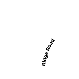
- 2 RIDGE RD (PALM)
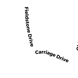
Single Family Residential owned by LEECOCK GARY P & SANDRA J - 10 CARRIAGE DR (PALM)
Single Family Residential owned by LEECOCK STEPHEN M - 4 RIDGE RD (PALM)
Single Family Residential owned by COSTA ANTHONY J & RHONDA M - 6 RIDGE RD (PALM)
Single Family Residential owned by DENAULT DAVID A & AMY B